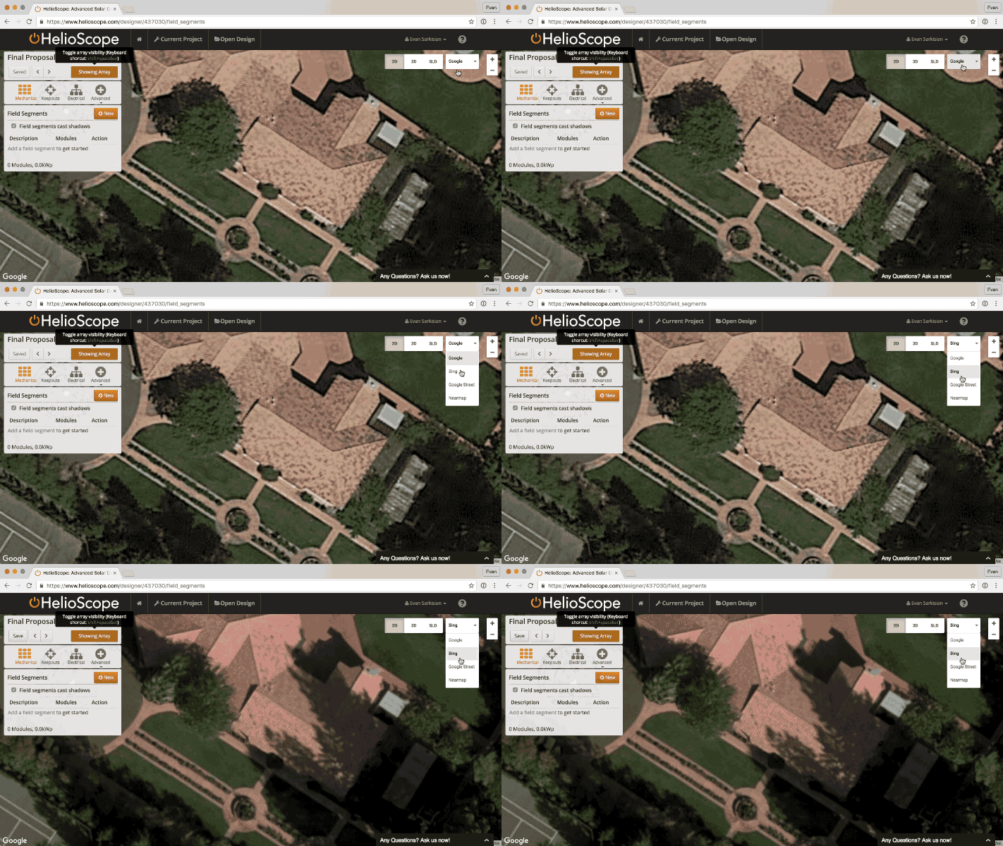
What can I do if my imagery is poor quality?
If the quality of the underlying Google Maps image is out of date or low-res, select map drop-down at the top right of the page (default is Google). Select a different provider from the list to change the background imagery to view a different imagery provider. HelioScope has default imagery from Google and Bing, but can also be integrated with Nearmap.

If the imagery from these sources isn't sufficient, you can also upload your own imagery as an overlay. This imagery can come from any source. It is a great way to load in plans for buildings that haven't been built yet, images from drones, or any other source of aerial imagery.
